


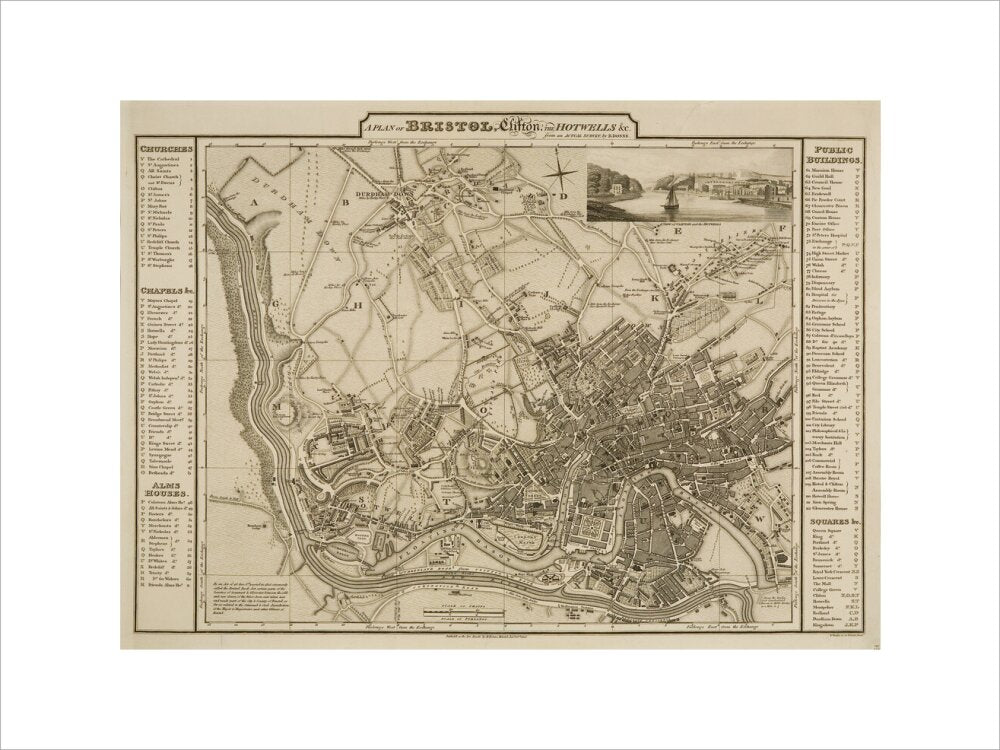
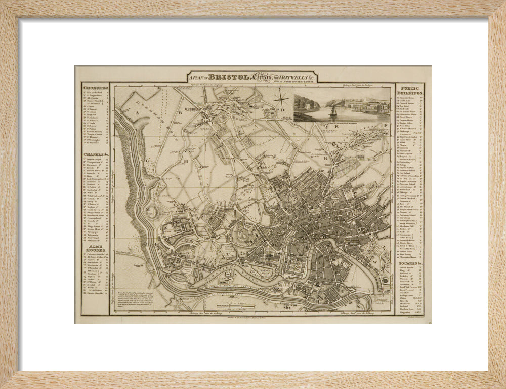
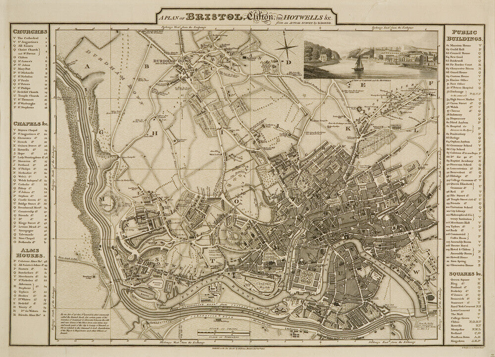

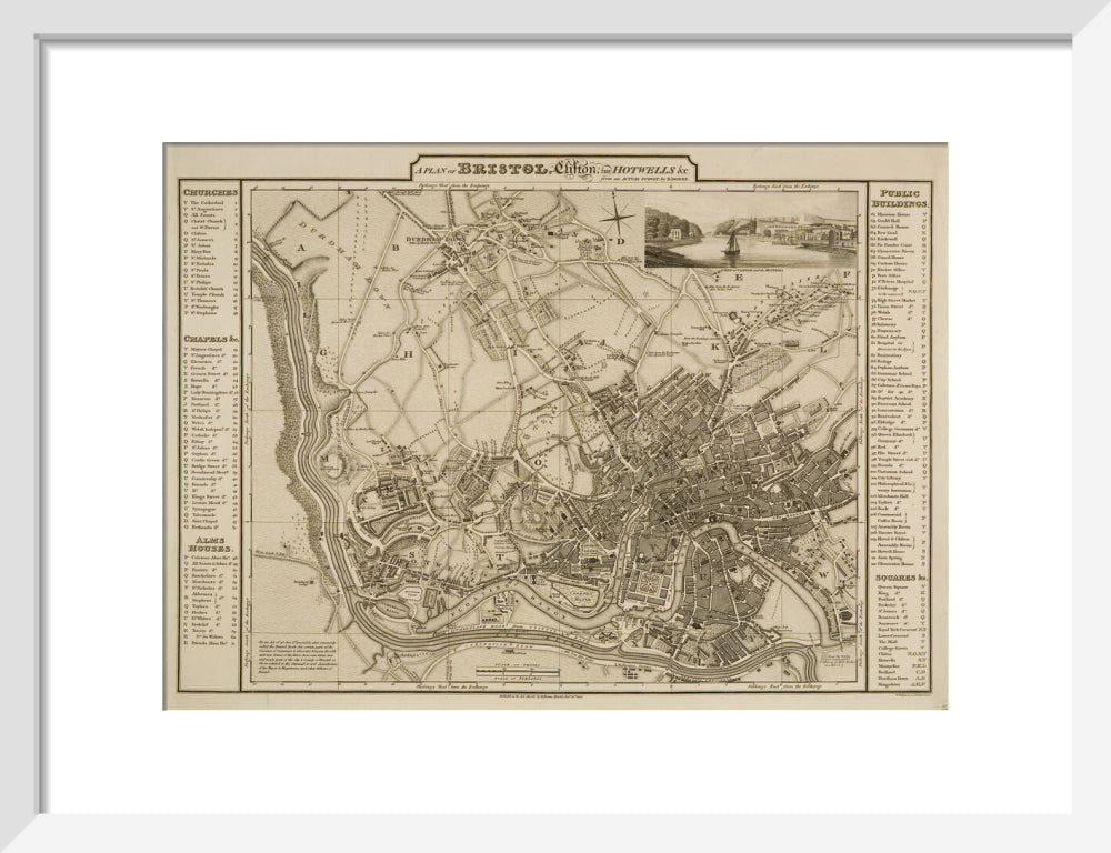
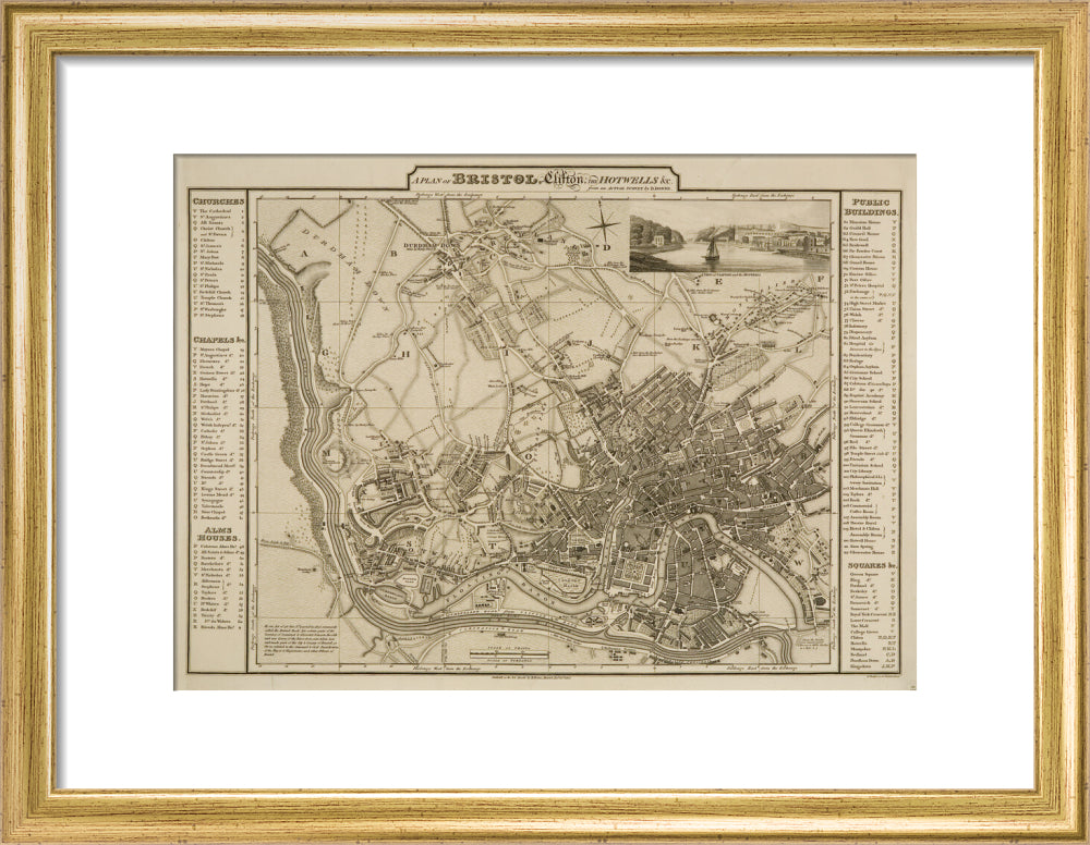


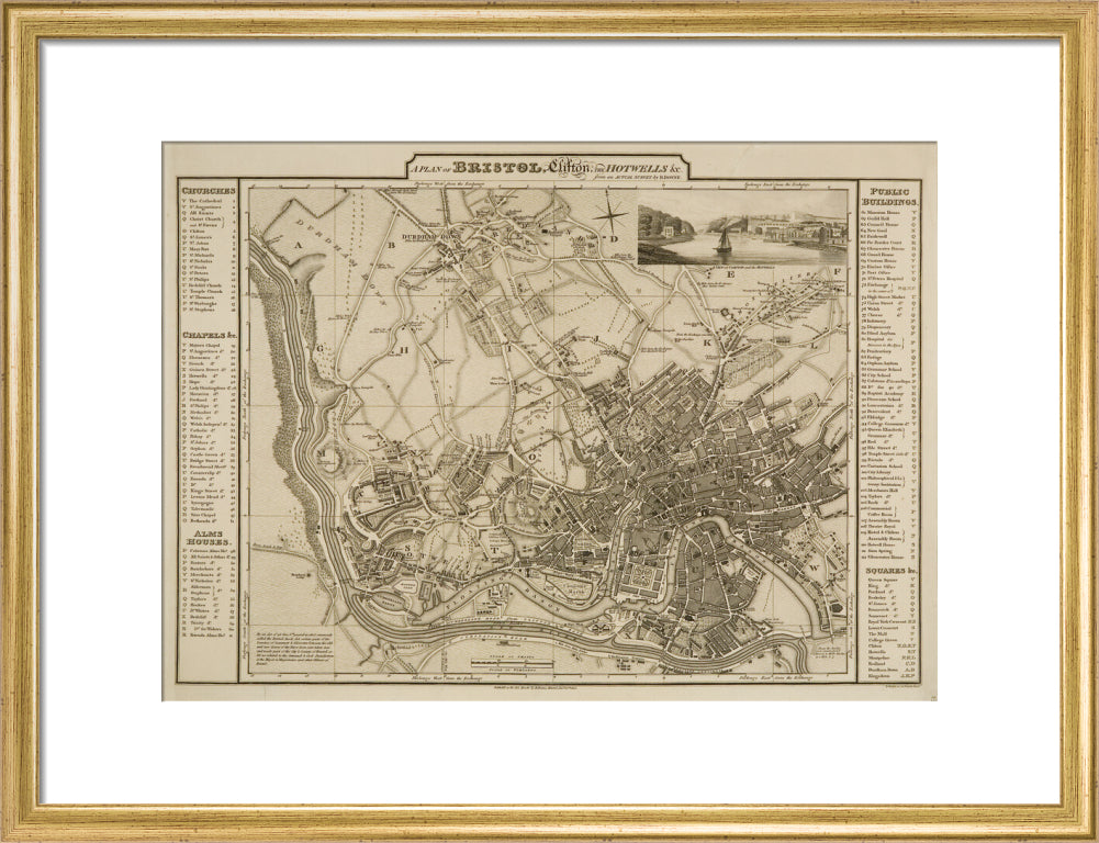
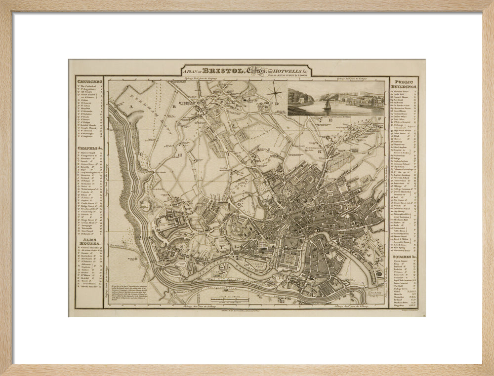


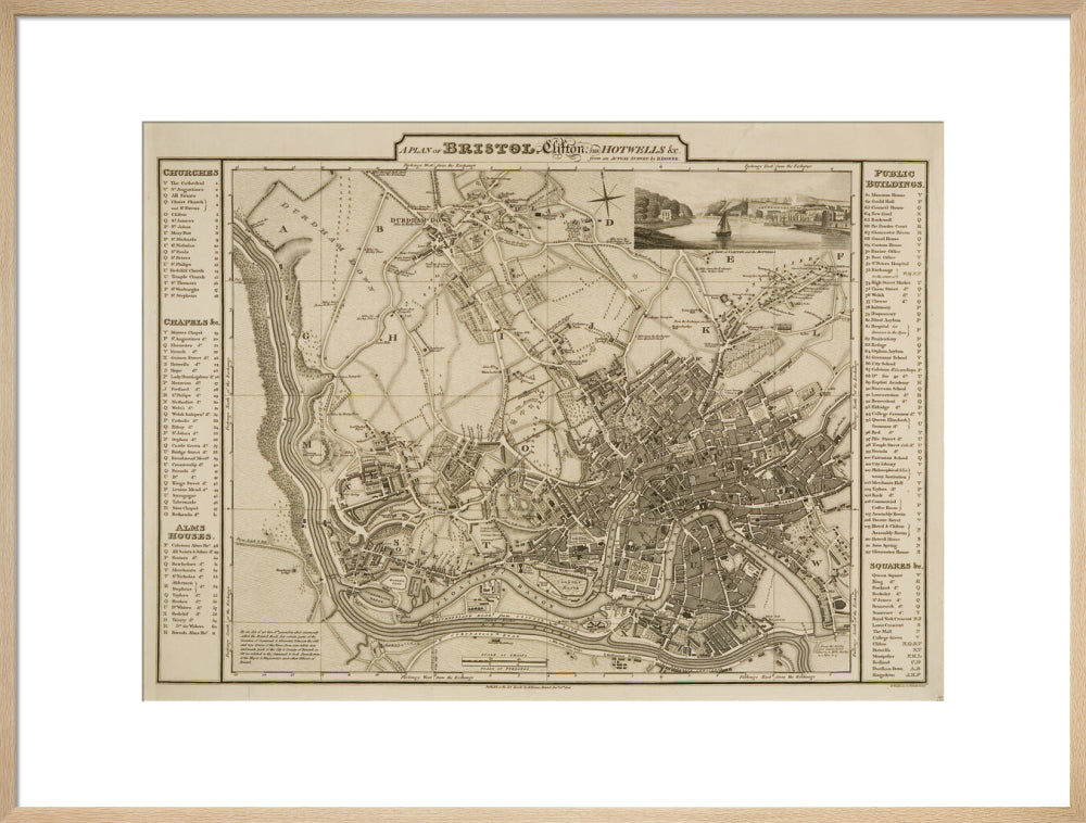
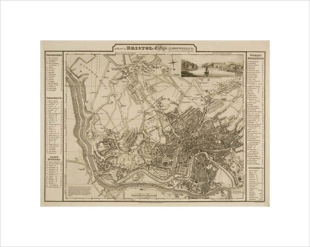
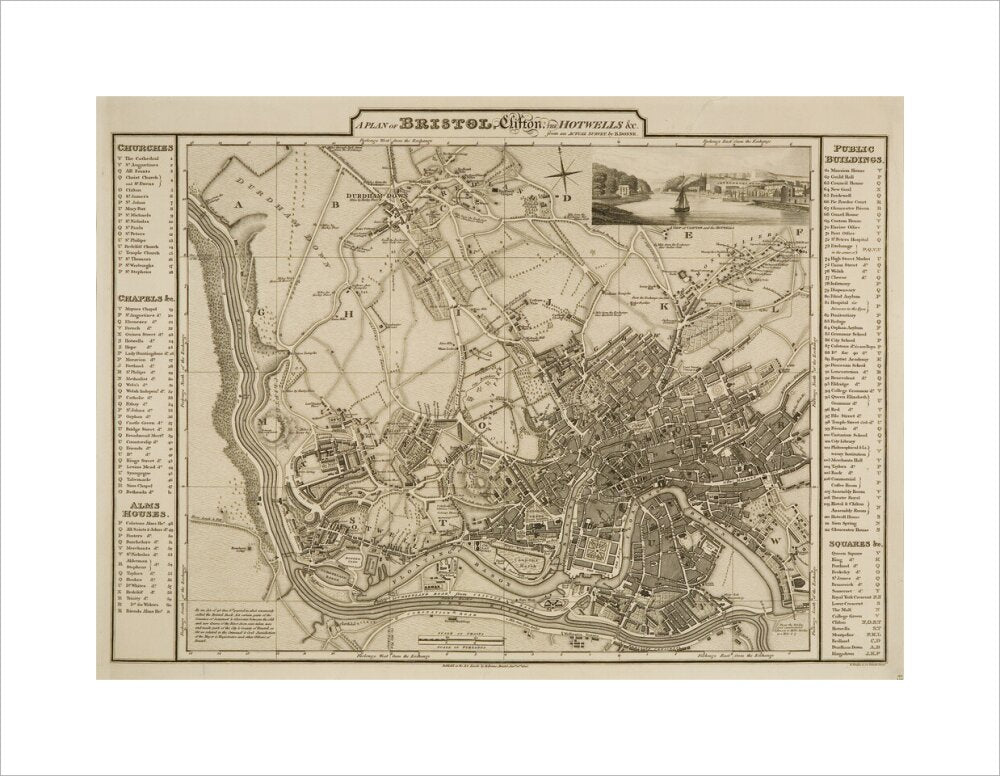
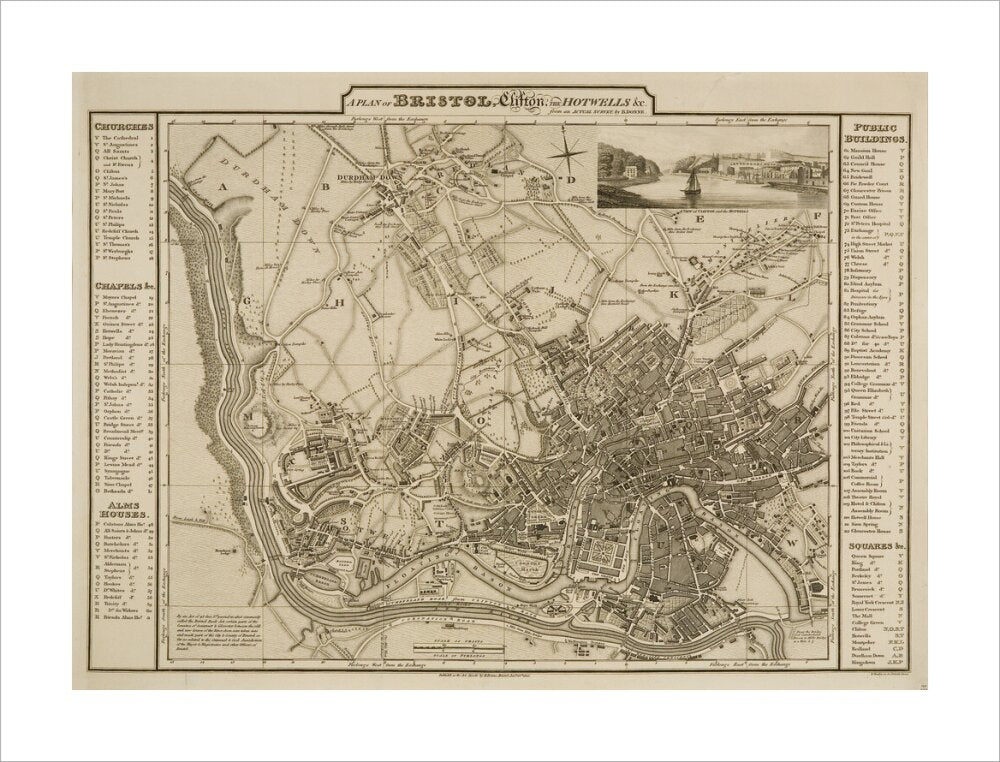

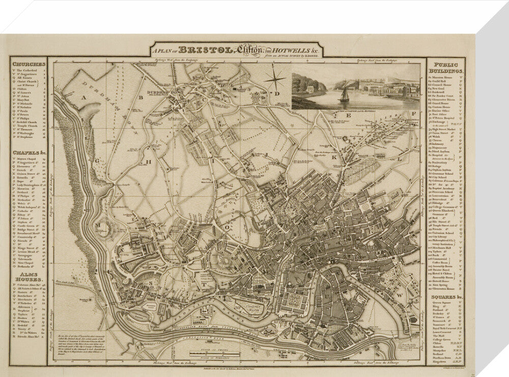
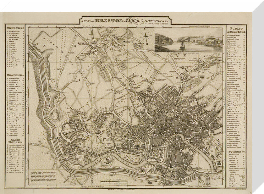


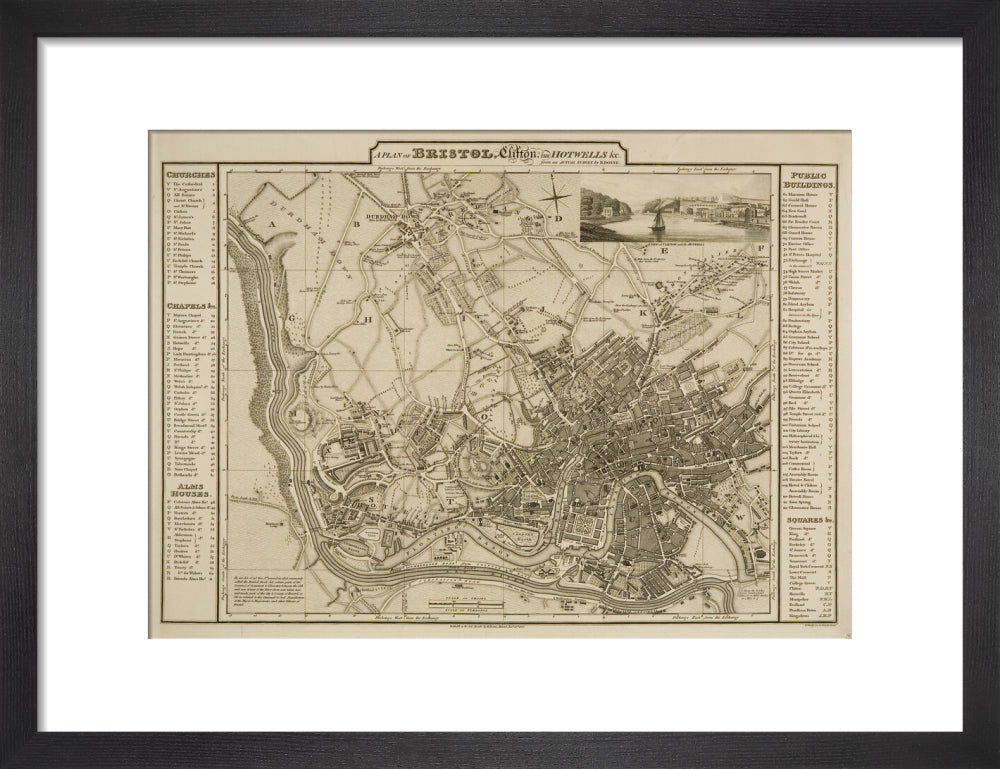
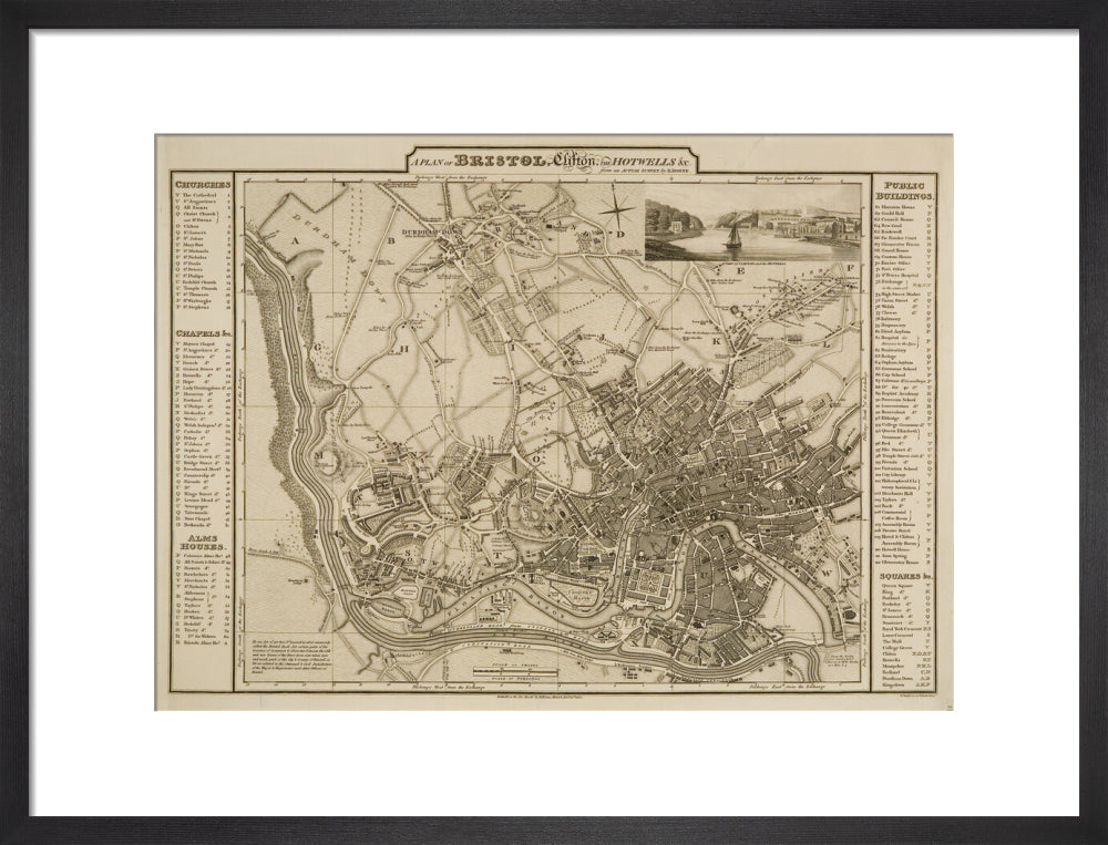
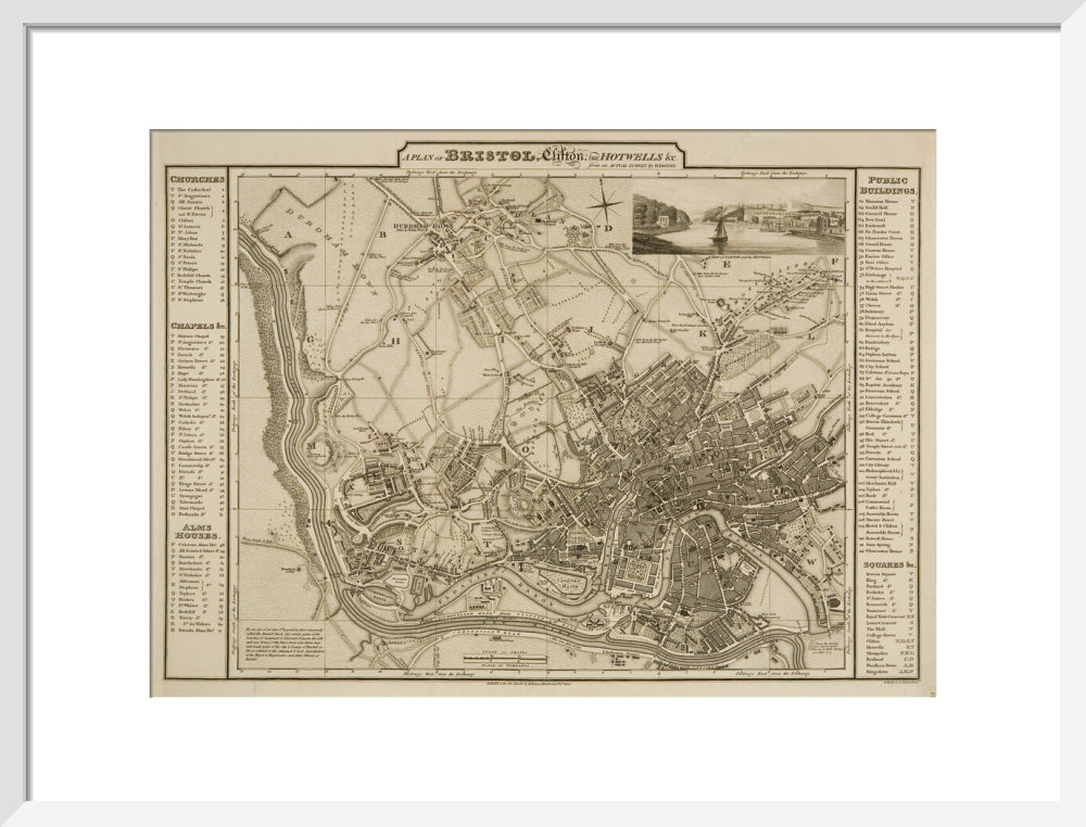
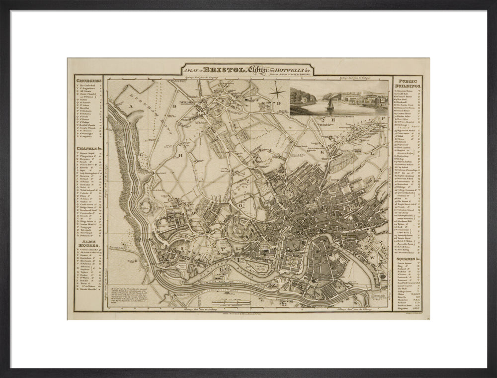
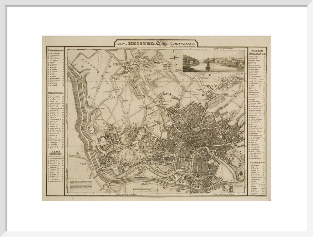
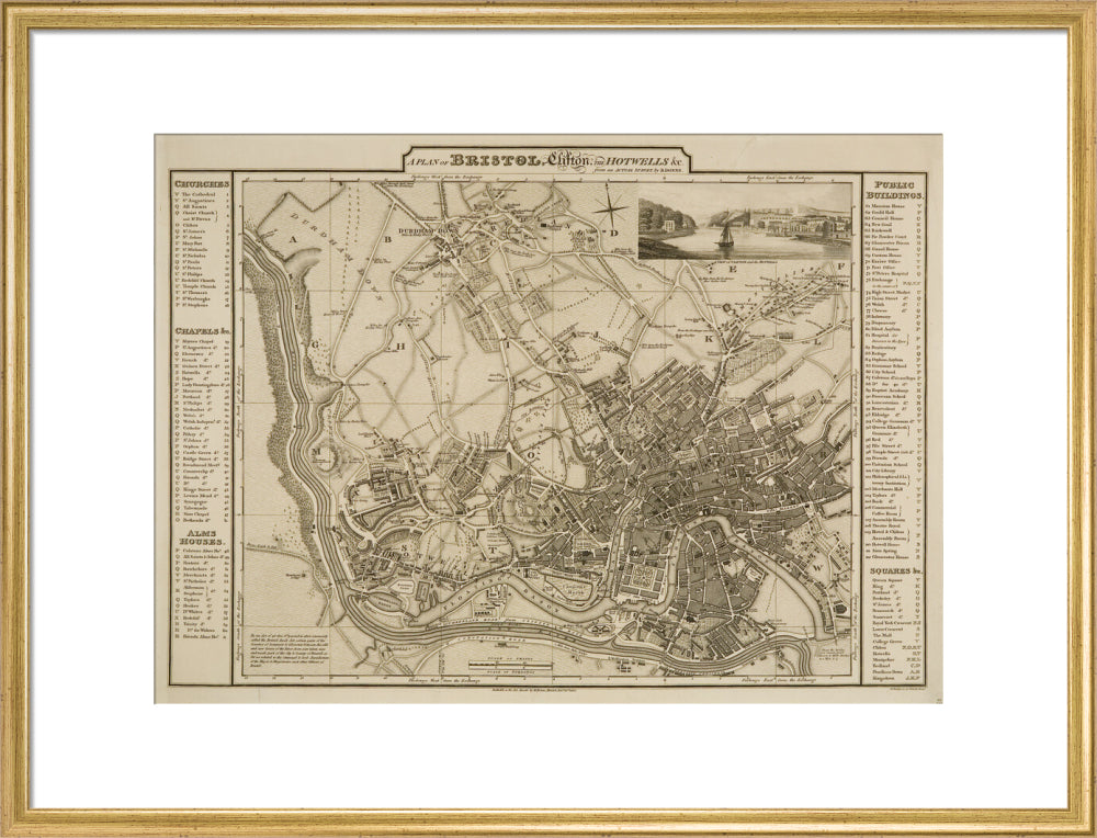
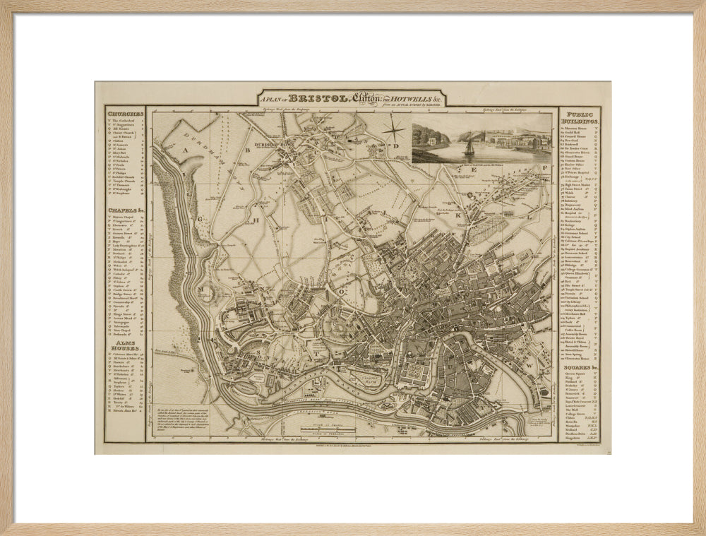
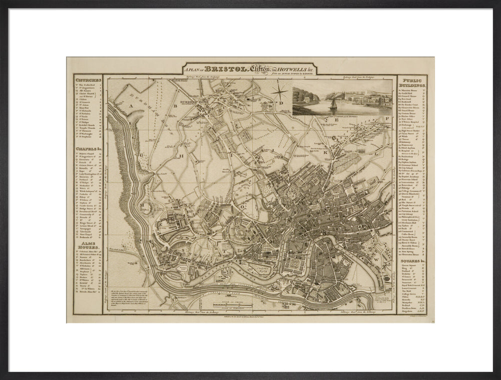
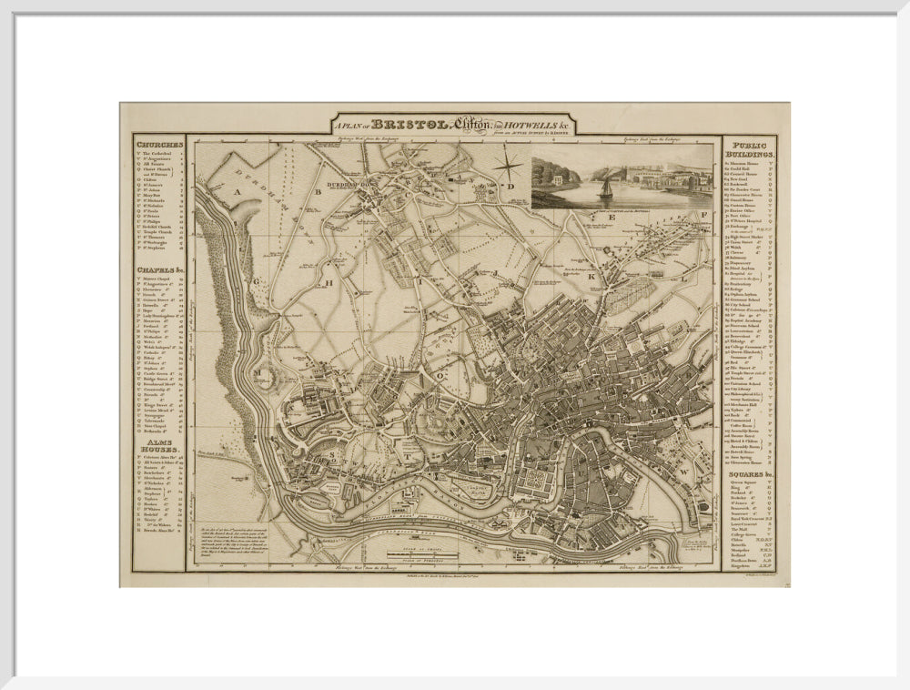
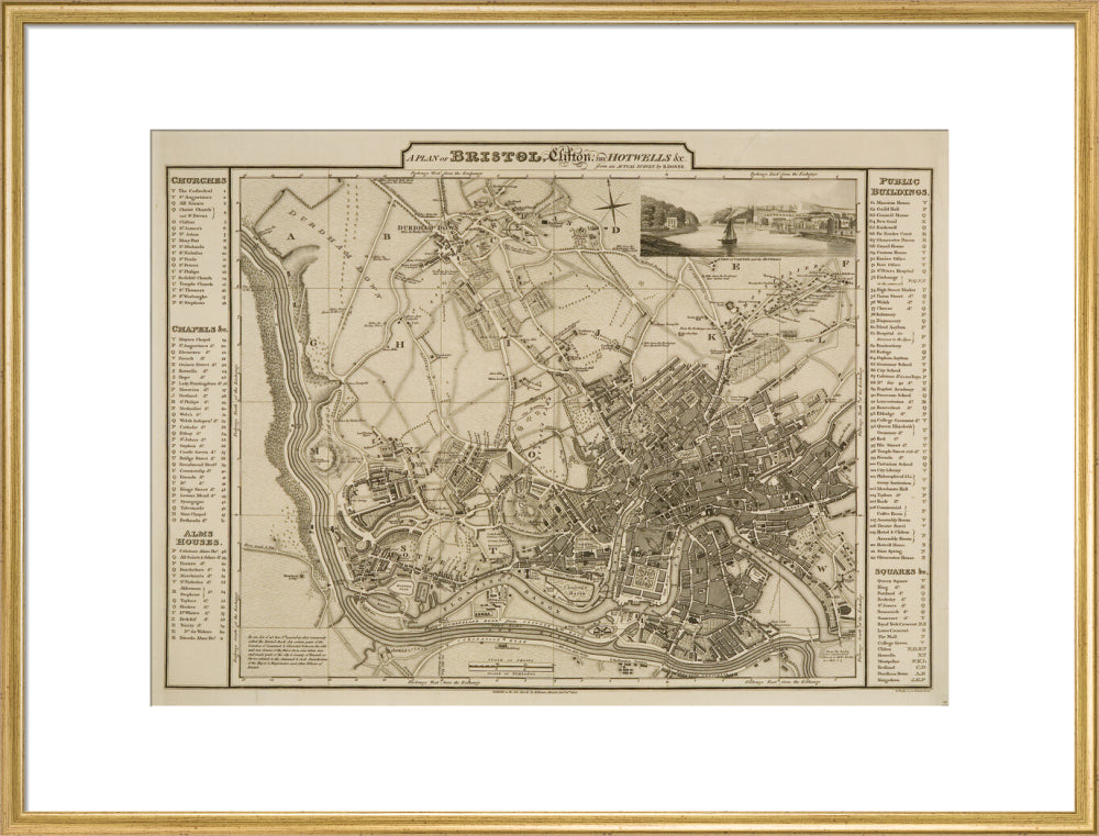
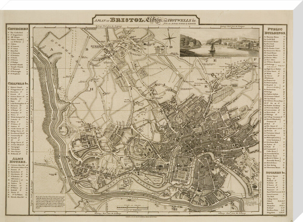
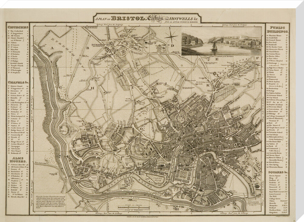
Donne's Bristol Map, 1826: A Plan of Bristol, Clifton, the Hotwells etc
£25.00
Item is in stockHurry! Low inventoryItem is out of stock
Item is unavailable
The area covered by Donne's new map has been extended to include Durdham Downs, the new suburbs of Montpelier and more of the densely populated area in the parish of SS Philip and Jacob. Map, 1826.
Art Print Sizes:
- Small - 30 x 40 cm
- Medium - 45 x 60 cm
- Large - 60 x 80 cm
- X Large - 75 x 100cm
Stretched Canvas Sizes:
- Small - 36 x 40cm
- Medium - 54 x 60 cm
- Large - 72 x 80 cm
- X Large - 90 x 100 cm
Unstretched Canvas size
- Small - 50 x 54 cm
- Medium - 68 x 74 cm
- Large - 86 x 94 cm
- X Large - 104 x 114 cm
Delivery:
For Custom Prints please allow 5 working days for unframed prints and 15 working days for framed prints/ stretched canvas.
Please note that as Custom Prints are made to order we cannot accept returns
For any further enquiries please email museumretail@bristol.gov.uk
Every purchase you make helps to support Bristol Museums, so thanks for shopping with us!